Land Surveying
- Home
- Land Surveying
Introduction to Land Surveying
Land surveying is the science and art of determining the terrestrial or three-dimensional positions of points and the distances and angles between them. It plays a vital role in land development, construction, and boundary determination. The main objective is to create maps, establish property boundaries, and aid in construction planning.
Surveying dates back thousands of years, with evidence of its use in ancient Egypt for constructing the pyramids. Over the centuries, it has evolved with the development of new tools and technologies. Today, it is a key part of engineering and urban planning.
Types of Land Surveying
There are several types of land surveying, each serving a unique purpose. The most common include boundary surveys, topographic surveys, construction surveys, and cadastral surveys. Each type requires different techniques and tools.
Boundary surveying is used to establish or re-establish property lines. It involves researching legal records and physical fieldwork. This type of survey is critical for resolving disputes between neighbors or during property transactions.


Importance and Challenges of Land Surveying
Land surveying plays a crucial role in construction, urban development, and property law. Without it, society would face serious issues related to land ownership, safety, and planning. Its importance cannot be overstated.
Surveying ensures that property boundaries are accurately established. This helps prevent legal disputes and encroachments. In court cases, a land survey is often a key piece of evidence.
Construction projects rely on survey data for safe and correct execution. Roads, bridges, and buildings must be positioned with precision. Errors in surveying can lead to costly delays and safety risks.
Surveying is essential for environmental planning. It helps identify flood zones, wetlands, and slopes. This information guides sustainable development and natural disaster mitigation.
Government agencies use surveys for public land management, infrastructure projects, and tax assessments. Accurate records support better planning and resource allocation.
Process of Land Surveying
Land surveying follows a detailed process to ensure accuracy and legal compliance. It starts with defining the purpose of the survey and understanding client needs. This determines the type of survey required. The next step is research. Surveyors examine land titles, previous survey records, legal descriptions, and deeds. This background is essential to understand existing boundaries and legal considerations.
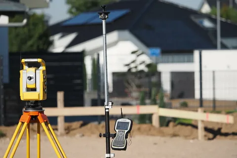
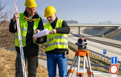
After the research phase, fieldwork begins. Using equipment like total stations, GPS units, and levels, surveyors collect measurements and other field data. Fieldwork can take hours or days, depending on the size and complexity. All data collected in the field is taken back to the office for processing. Specialized software is used to analyze measurements, calculate angles, and create digital maps or plans. Once the data is processed, the surveyor prepares a formal survey report or drawing. This includes a legal description of the property, boundary lines, structures, and other features.
The report may be used for legal purposes, such as land disputes, land division, or construction approvals. It becomes part of the property’s permanent records. Surveyors also place physical markers, such as iron rods or concrete monuments, to indicate key boundary points. These serve as permanent references for future use.
Real Feedback From Real Clients
Alsafeena Land Surveyor exceeded our expectations with their professionalism, accuracy, and timely delivery—an outstanding partner for any development.
James .H
The team at Alsafeena Land Surveyor provided expert guidance and precise data, helping us complete our project on time and within budget.
William. J
Alsafeena Land Surveyor’s cutting-edge technology and skilled professionals ensured accurate results, making them our top choice for all surveying needs.